
Current Island topographic map
Interactive map
Click on the map to display elevation.
About this map
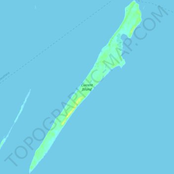
Name: Current Island topographic map, elevation, terrain.
Location: Current Island, North Eleuthera, Bahamas (25.31041 -76.85511 25.40280 -76.78866)
Average elevation: 0 m
Minimum elevation: 0 m
Maximum elevation: 19 m