
Loerbeek topographic map
Interactive map
Click on the map to display elevation.
About this map
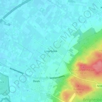
Name: Loerbeek topographic map, elevation, terrain.
Location: Loerbeek, Gelderland, Nederland, 7036, Nederland (51.89970 6.17851 51.93970 6.21851)
Average elevation: 26 m
Minimum elevation: 13 m
Maximum elevation: 86 m