Geolocate

Lunotan topographic map

Click on the map to display elevation.

About this map
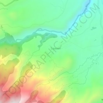
Name: Lunotan topographic map, elevation, terrain.

Location: Lunotan, Misamis Oriental, Northern Mindanao, Philippines (8.69771 125.07658 8.73771 125.11658)

Average elevation: 514 m

Minimum elevation: 235 m

Maximum elevation: 1,031 m

Gear up for your next adventure:

📡Portable Emergency Radios - Stay informed about weather warnings and bushfire alerts
🧭Global Orienteering Compass - High-precision liquid-filled compasses for accurate map reading and navigation
🥾Hiking Shoes - Lightweight hiking shoes for day hikes
📻Handheld UHF Radios - Critical communication for groups in the Australian outback
🥶Thermal Beanies - Warm hats for cold hikes

As an Amazon Associate, this site earns from qualifying purchases at no extra cost to you.