
Tigherghar topographic map
Interactive map
Click on the map to display elevation.
About this map
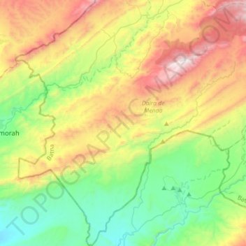
Name: Tigherghar topographic map, elevation, terrain.
Location: Tigherghar, Daïra Menaa, Batna, RADP (34.96400 5.85806 35.19104 6.06445)
Average elevation: 902 m
Minimum elevation: 312 m
Maximum elevation: 1,927 m