Geolocate

Mindoro topographic map

Click on the map to display elevation.

About this map

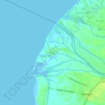
Name: Mindoro topographic map, elevation, terrain.

Location: Mindoro, Bangar, La Union, Ilocos Region, 2519, Philippines (16.88961 120.38919 16.92961 120.42919)

Average elevation: 3 m

Minimum elevation: -4 m

Maximum elevation: 14 m

Gear up for your next adventure:

🧭Compass - Navigation compasses for outdoor exploration
📱Shockproof Phone Cases - Extra protection for your smartphone against drops on rocky terrain
👄SPF Lip Balm - Prevent sun and wind-burnt lips on mountain ridges
🔥Windproof Plasma Lighters - USB rechargeable lighters that work in high-altitude winds
🔦Headlamps - Hands-free lighting for hiking

As an Amazon Associate, this site earns from qualifying purchases at no extra cost to you.