
Lycksele kommun topographic map
Interactive map
Click on the map to display elevation.
About this map
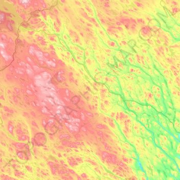
Name: Lycksele kommun topographic map, elevation, terrain.
Location: Lycksele kommun, Västerbotten County, Sweden (64.06068 17.50495 65.24295 19.31164)
Average elevation: 356 m
Minimum elevation: 164 m
Maximum elevation: 712 m
Other topographic maps
Click on a map to view its topography, its elevation and its terrain.