Geolocate

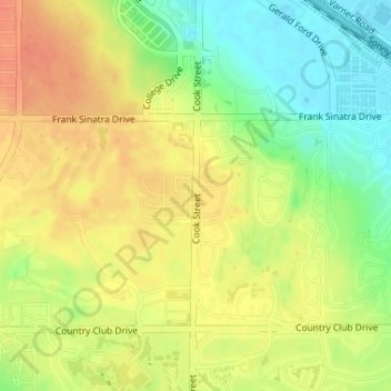
Coachella Valley topographic map

Click on the map to display elevation.

Coachella Valley

The area is surrounded on the southwest by the Santa Rosa Mountains, by the San Jacinto Mountains to the west, the Little San Bernardino Mountains to the east and San Gorgonio Mountain to the north. These mountains peak at around 11,000 feet (3,400 m) and tend to average between 5,000 and 7,000 feet (1,500 and 2,100 m). Elevations on the Valley floor range from 1,600 feet (490 m) above sea level at the north end of the Valley to 250 feet (76 m) below sea level around Mecca.

Wikipedia (CC-BY-SA 3.0)

About this map

Name: Coachella Valley topographic map, elevation, terrain.

Location: Coachella Valley, Palm Desert, Riverside County, California, 92211, United States (33.76719 -116.35609 33.76729 -116.35599)

Average elevation: 72 m

Minimum elevation: 47 m

Maximum elevation: 91 m

Gear up for your next adventure:

📣High-Decibel Survival Whistles - Signaling tool for rescue that carries much further than a human voice
🧦Merino Wool Hiking Socks - Moisture-wicking socks to prevent blisters during long topographic surveys
🥾Hiking Boots - Durable hiking boots for trails and rough terrain
🧊Insulated Stainless Steel Flasks - Keep water cold for 24 hours in the heat or coffee hot in the cold
🧥Packable Rain Jackets - Breathable waterproof layers for unpredictable mountain weather

As an Amazon Associate, this site earns from qualifying purchases at no extra cost to you.