
Creswell topographic map
Click on the map to display elevation.
About this map
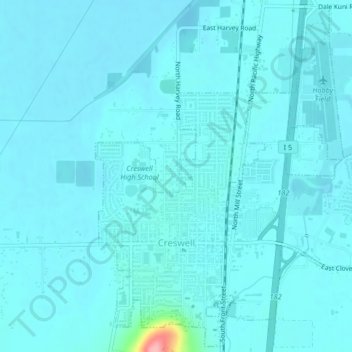
Name: Creswell topographic map, elevation, terrain.
Location: Creswell, Lane County, Oregon, 97426, United States (43.90906 -123.03409 43.93799 -122.99256)
Average elevation: 165 m
Minimum elevation: 155 m
Maximum elevation: 277 m