
Bacivèr topographic map
Interactive map
Click on the map to display elevation.
About this map
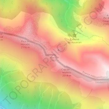
Name: Bacivèr topographic map, elevation, terrain.
Location: Bacivèr, Caneján, Valle de Arán, Cataluña, 25548, España (42.83463 0.82057 42.83473 0.82067)
Average elevation: 1,753 m
Minimum elevation: 1,011 m
Maximum elevation: 2,201 m