
Heilig Landstichting topographic map
Interactive map
Click on the map to display elevation.
About this map
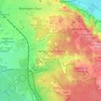
Name: Heilig Landstichting topographic map, elevation, terrain.
Location: Heilig Landstichting, Gelderland, Nederland, 6564, Nederland (51.79734 5.87107 51.83734 5.91107)
Average elevation: 52 m
Minimum elevation: 7 m
Maximum elevation: 95 m