
Eaton Hill topographic map
Interactive map
Click on the map to display elevation.
About this map
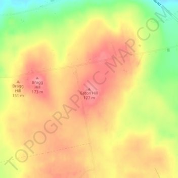
Name: Eaton Hill topographic map, elevation, terrain.
Location: Eaton Hill, Penobscot County, Maine, 04435, USA (44.94057 -69.10981 44.94067 -69.10971)
Average elevation: 137 m
Minimum elevation: 77 m
Maximum elevation: 174 m