
Kothavalasa topographic map
Interactive map
Click on the map to display elevation.
About this map
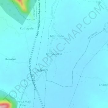
Name: Kothavalasa topographic map, elevation, terrain.
Location: Kothavalasa, Vizianagaram, Andhra Pradesh, India (18.18354 83.25343 18.22354 83.29343)
Average elevation: 76 m
Minimum elevation: 59 m
Maximum elevation: 344 m