
Reedy topographic map
Interactive map
Click on the map to display elevation.
About this map
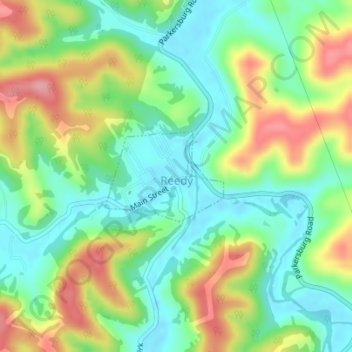
Name: Reedy topographic map, elevation, terrain.
Location: Reedy, Roane County, West Virginia, USA (38.89635 -81.43195 38.90325 -81.42024)
Average elevation: 249 m
Minimum elevation: 201 m
Maximum elevation: 328 m