
Pwalugu topographic map
Interactive map
Click on the map to display elevation.
About this map
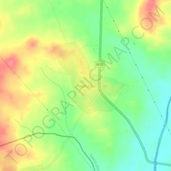
Name: Pwalugu topographic map, elevation, terrain.
Location: Pwalugu, Talensi District, Upper East Region, Ghana (10.58375 -0.87817 10.62375 -0.83817)
Average elevation: 161 m
Minimum elevation: 127 m
Maximum elevation: 198 m