
Astoria topographic map
Interactive map
Click on the map to display elevation.
About this map
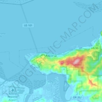
Name: Astoria topographic map, elevation, terrain.
Location: Astoria, Clatsop County, Oregon, 97103, VS (46.17013 -123.89133 46.21291 -123.73850)
Average elevation: 14 m
Minimum elevation: -4 m
Maximum elevation: 204 m