Geolocate

阿合雅镇 topographic map

Interactive map

Click on the map to display elevation.

About this map

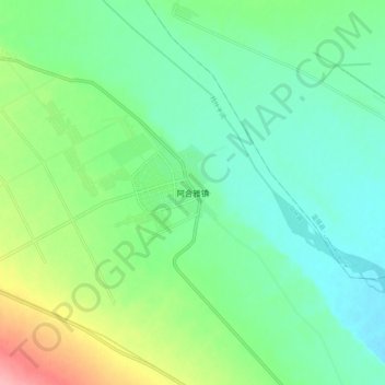
Name: 阿合雅镇 topographic map, elevation, terrain.

Location: 阿合雅镇, 乌什县, 阿克苏地区, 新疆维吾尔自治区, 中国 (41.16941 79.66688 41.24941 79.74688)

Average elevation: 1,224 m

Minimum elevation: 1,192 m

Maximum elevation: 1,302 m

Other topographic maps

Click on a map to view its topography, its elevation and its terrain.

乌什县

中国 > 新疆维吾尔自治区 > 乌什县

乌什县, 阿克苏地区, 新疆维吾尔自治区, 中国

Average elevation: 1,605 m

亚曼苏柯尔克孜族乡 يامانسۇ / جامانسۇۇ

中国 > 新疆维吾尔自治区 > 乌什县

亚曼苏柯尔克孜族乡 يامانسۇ / جامانسۇۇ, 乌什县, 阿克苏地区, 新疆维吾尔自治区, 中国

Average elevation: 1,493 m

阿恰塔格乡

中国 > 新疆维吾尔自治区 > 乌什县

阿恰塔格乡, 乌什县, 阿克苏地区, 新疆维吾尔自治区, 中国

Average elevation: 1,274 m