
Nicholson topographic map
Interactive map
Click on the map to display elevation.
About this map
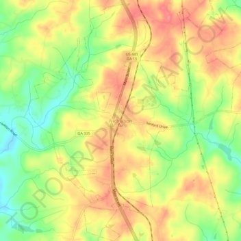
Name: Nicholson topographic map, elevation, terrain.
Location: Nicholson, Jackson County, Georgia, United States (34.09147 -83.45234 34.13661 -83.40062)
Average elevation: 245 m
Minimum elevation: 204 m
Maximum elevation: 276 m