
Wallula topographic map
Interactive map
Click on the map to display elevation.
About this map
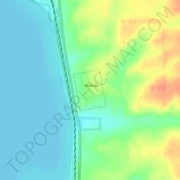
Name: Wallula topographic map, elevation, terrain.
Location: Wallula, Walla Walla County, Washington, États-Unis (46.08161 -118.90909 46.08779 -118.90208)
Average elevation: 119 m
Minimum elevation: 102 m
Maximum elevation: 151 m