
Rybnik topographic map
Interactive map
Click on the map to display elevation.
About this map
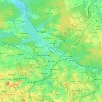
Name: Rybnik topographic map, elevation, terrain.
Location: Rybnik, Silesian Voivodeship, Poland (50.03541 18.44168 50.18567 18.65684)
Average elevation: 252 m
Minimum elevation: 202 m
Maximum elevation: 369 m