
Ataba topographic map
Interactive map
Click on the map to display elevation.
About this map
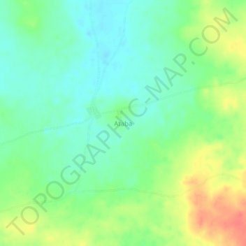
Name: Ataba topographic map, elevation, terrain.
Location: Ataba, Tanout, Zinder, Niger (14.70810 8.28430 14.74810 8.32430)
Average elevation: 470 m
Minimum elevation: 450 m
Maximum elevation: 504 m