
Mission Bend topographic map
Interactive map
Click on the map to display elevation.
About this map
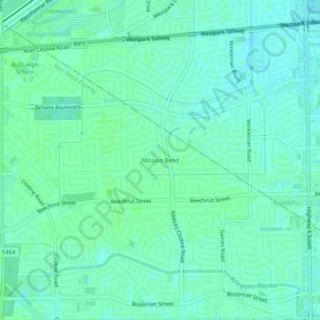
Name: Mission Bend topographic map, elevation, terrain.
Location: Mission Bend, Fort Bend County, Texas, 77083, USA (29.67390 -95.68510 29.71390 -95.64510)
Average elevation: 29 m
Minimum elevation: 25 m
Maximum elevation: 31 m