
Place des Tilleuls topographic map
Interactive map
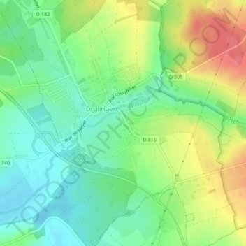
Click on the map to display elevation.
About this map
Name: Place des Tilleuls topographic map, elevation, terrain.
Average elevation: 297 m
Minimum elevation: 269 m
Maximum elevation: 340 m
Other topographic maps
Click on a map to view its topography, its elevation and its terrain.
Place du Marché
France > Grand Est > Drulingen
Place du Marché, Drulingen, Saverne, Bas-Rhin, Grand Est, Metropolitan France, 67320, France
Average elevation: 297 m