
Marán topographic map
Interactive map
Click on the map to display elevation.
About this map
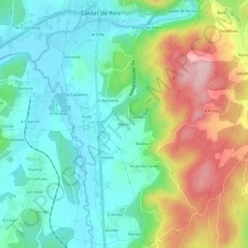
Name: Marán topographic map, elevation, terrain.
Average elevation: 93 m
Minimum elevation: 14 m
Maximum elevation: 250 m
Other topographic maps
Click on a map to view its topography, its elevation and its terrain.
Carracedo
España > Galicia > Caldas > Caldas de Reis
Carracedo, Caldas de Reis, Caldas, Pontevedra, Galicia, España
Average elevation: 171 m