
Slate Island topographic map
Interactive map
Click on the map to display elevation.
About this map
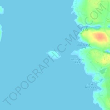
Name: Slate Island topographic map, elevation, terrain.
Location: Slate Island, Beals, Washington County, Maine, United States (44.48571 -67.61516 44.48781 -67.60989)
Average elevation: 4 m
Minimum elevation: -1 m
Maximum elevation: 39 m