
Lomaloma topographic map
Interactive map
Click on the map to display elevation.
About this map
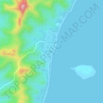
Name: Lomaloma topographic map, elevation, terrain.
Location: Lomaloma, Lau, Eastern, Fiji (-17.29822 -178.99020 -17.28689 -178.98517)
Average elevation: 34 m
Minimum elevation: -1 m
Maximum elevation: 198 m