
Zwartemeer topographic map
Interactive map
Click on the map to display elevation.
About this map
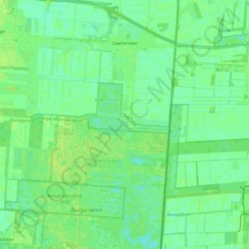
Name: Zwartemeer topographic map, elevation, terrain.
Location: Zwartemeer, Emmen, Drenthe, Netherlands (52.66977 7.00789 52.73348 7.06415)
Average elevation: 18 m
Minimum elevation: 12 m
Maximum elevation: 23 m
Other topographic maps
Click on a map to view its topography, its elevation and its terrain.