
Sector de Bula topographic map
Interactive map
Click on the map to display elevation.
About this map
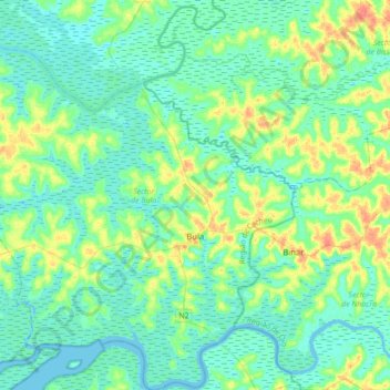
Name: Sector de Bula topographic map, elevation, terrain.
Location: Sector de Bula, Cacheu Region, North, Guinea-Bissau (11.97396 -15.94759 12.31463 -15.62121)
Average elevation: 11 m
Minimum elevation: -3 m
Maximum elevation: 45 m