Geolocate

Rio do Sal topographic map

Click on the map to display elevation.

About this map
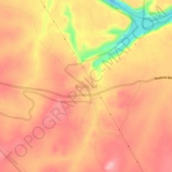
Name: Rio do Sal topographic map, elevation, terrain.

Location: Rio do Sal, Paulo Afonso, Região Geográfica Imediata de Paulo Afonso, Região Geográfica Intermediária de Paulo Afonso, Bahia, Northeast Region, 48619-899, Brazil (-9.47668 -38.18864 -9.43668 -38.14864)

Average elevation: 228 m

Minimum elevation: 128 m

Maximum elevation: 270 m

Gear up for your next adventure:

🥾Heavy Duty Hiking Boots - Ankle-supporting boots for carrying heavy packs on steep contours
🔭Compact Hiking Binoculars - Lightweight optics for scouting routes or birdwatching
🎨Portable Watercolor Kits - Paint the landscapes and topographic views you discover
🎽Hiking Clothing - Breathable clothing for hiking
📱Tablet Tripod Mounts - Steady platforms for viewing digital maps or taking long exposures

As an Amazon Associate, this site earns from qualifying purchases at no extra cost to you.