
Somers topographic map
Click on the map to display elevation.
About this map
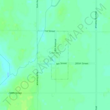
Name: Somers topographic map, elevation, terrain.
Location: Somers, Calhoun County, Iowa, United States (42.37198 -94.43635 42.38392 -94.42605)
Average elevation: 352 m
Minimum elevation: 346 m
Maximum elevation: 357 m