
Villavieja topographic map
Interactive map
Click on the map to display elevation.
About this map
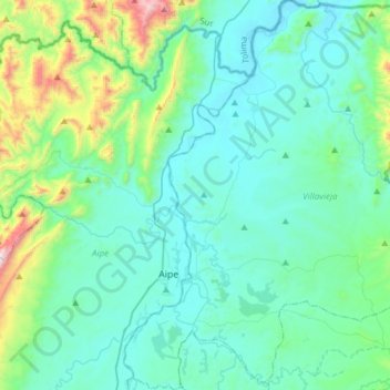
Name: Villavieja topographic map, elevation, terrain.
Location: Villavieja, Norte, Huila, Colombia (3.13174 -75.27504 3.43593 -75.00884)
Average elevation: 543 m
Minimum elevation: 340 m
Maximum elevation: 1,609 m
Other topographic maps
Click on a map to view its topography, its elevation and its terrain.
Perímetro Urbano Neiva
Perímetro Urbano Neiva, Neiva, Norte, Huila, RAP (Especial) Central, Colombia
Average elevation: 469 m