
Holanda topographic map
Interactive map
Click on the map to display elevation.
About this map
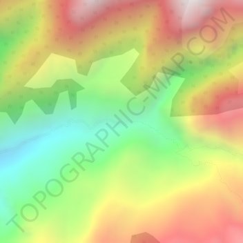
Name: Holanda topographic map, elevation, terrain.
Location: Holanda, Cáchira, Norte de Santander, Colômbia (7.66943 -73.01723 7.68943 -72.99723)
Average elevation: 2,662 m
Minimum elevation: 2,119 m
Maximum elevation: 3,174 m