Geolocate

Barton topographic map

Click on the map to display elevation.

About this map

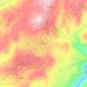
Name: Barton topographic map, elevation, terrain.

Location: Barton, Amador County, California, United States (38.43463 -120.55020 38.47463 -120.51020)

Average elevation: 1,003 m

Minimum elevation: 683 m

Maximum elevation: 1,173 m

Gear up for your next adventure:

🥶Thermal Beanies - Warm hats for cold hikes
🧼Biodegradable Soap - Eco-friendly outdoor soap
🎒Daypacks - Compact backpacks for short hikes
🏫Topographic World Globes - 3D physical relief globes to understand global geography
🧥Packable Rain Jackets - Breathable waterproof layers for unpredictable mountain weather

As an Amazon Associate, this site earns from qualifying purchases at no extra cost to you.