
Kruispark topographic map
Interactive map
Click on the map to display elevation.
About this map
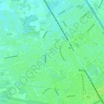
Name: Kruispark topographic map, elevation, terrain.
Location: Kruispark, Schutboom, Best, Noord-Brabant, Nederland (51.50692 5.38036 51.50927 5.38322)
Average elevation: 17 m
Minimum elevation: 11 m
Maximum elevation: 22 m