Geolocate

Musquash topographic map

Click on the map to display elevation.

About this map
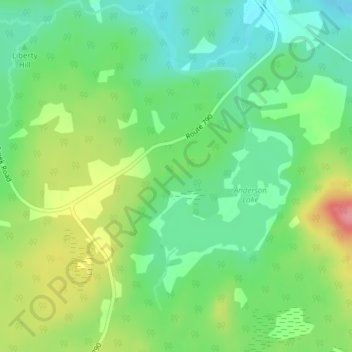
Name: Musquash topographic map, elevation, terrain.

Location: Musquash, Musquash Parish, Saint John County, New Brunswick, Canada (45.15652 -66.35958 45.17652 -66.33958)

Average elevation: 40 m

Minimum elevation: 3 m

Maximum elevation: 103 m

Other topographic maps

Click on a map to view its topography, its elevation and its terrain.

Dipper Harbour

Canada > New Brunswick > Musquash Parish

Average elevation: 21 m

Gear up for your next adventure:

🧭Compass - Navigation compasses for outdoor exploration
🪑Portable Backpacking Chairs - A comfortable seat for studying maps at the end of the day
🛰️Handheld GPS Units - Rugged GPS devices for tracking coordinates and elevation in the Australian bush
⛺Lightweight Tents - Compact tents for backpacking
🚁Camera Drones with GPS - Capture aerial views of the landscape to compare with topo maps

As an Amazon Associate, this site earns from qualifying purchases at no extra cost to you.