
Sonestown topographic map
Interactive map
Click on the map to display elevation.
About this map
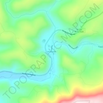
Name: Sonestown topographic map, elevation, terrain.
Location: Sonestown, Sullivan County, Pennsylvania, United States (41.33358 -76.57456 41.37358 -76.53456)
Average elevation: 419 m
Minimum elevation: 266 m
Maximum elevation: 743 m