Geolocate

Penn Run topographic map

Click on the map to display elevation.

About this map
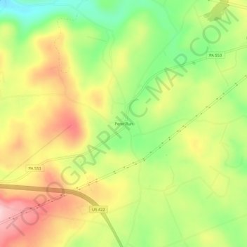
Name: Penn Run topographic map, elevation, terrain.

Location: Penn Run, Cherryhill Township, Indiana County, Pennsylvania, 15765, United States (40.59868 -79.03114 40.63868 -78.99114)

Average elevation: 476 m

Minimum elevation: 363 m

Maximum elevation: 590 m

Gear up for your next adventure:

🔑Heavy Duty Carabiners - Secure gear to the outside of your pack for easy access
🌿Flora and Fauna Field Guides - Identify the plants and animals you encounter on your route
⌚Altimeter Barometer Watches - Outdoor watches with built-in sensors to track altitude changes and weather shifts
🪢550 Survival Paracord - Versatile cordage for gear repair and emergency lashing
🐍Australian Snake Bite Kits - Specific pressure immobilization bandages for Australian venomous snakes

As an Amazon Associate, this site earns from qualifying purchases at no extra cost to you.