
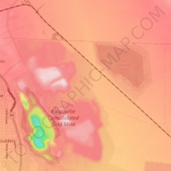
Brown Hill topographic map
Interactive map
Click on the map to display elevation.
About this map
Name: Brown Hill topographic map, elevation, terrain.
Average elevation: 363 m
Minimum elevation: 126 m
Maximum elevation: 454 m
Other topographic maps
Click on a map to view its topography, its elevation and its terrain.
Binduli
Australia > Western Australia > Kalgoorlie
Binduli, Kalgoorlie, City Of Kalgoorlie-Boulder, Western Australia, Australia
Average elevation: 375 m
Kalgoorlie
Australia > Western Australia > Kalgoorlie
Kalgoorlie, City Of Kalgoorlie-Boulder, Western Australia, Australia
Average elevation: 376 m