
Meadowvale topographic map
Interactive map
Click on the map to display elevation.
About this map
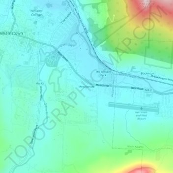
Name: Meadowvale topographic map, elevation, terrain.
Average elevation: 248 m
Minimum elevation: 170 m
Maximum elevation: 560 m
Other topographic maps
Click on a map to view its topography, its elevation and its terrain.
Williamstown
United States > Massachusetts > Berkshire County > Williamstown
Williamstown, Berkshire County, Massachusetts, 01267, United States
Average elevation: 433 m