
临港街道 topographic map
Interactive map
Click on the map to display elevation.
About this map
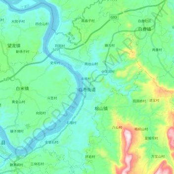
Name: 临港街道 topographic map, elevation, terrain.
Location: 临港街道, 合江县, 泸州市, 四川省, 中国 (28.78590 105.86915 28.94117 105.97438)
Average elevation: 338 m
Minimum elevation: 190 m
Maximum elevation: 909 m
Other topographic maps
Click on a map to view its topography, its elevation and its terrain.