
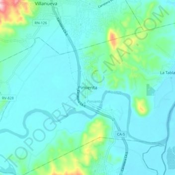
Pimienta topographic map
Interactive map
Click on the map to display elevation.
About this map
Name: Pimienta topographic map, elevation, terrain.
Location: Pimienta, Cortés, Honduras (15.23720 -88.01353 15.31720 -87.93353)
Average elevation: 76 m
Minimum elevation: 29 m
Maximum elevation: 347 m