
Simrahi topographic map
Interactive map
Click on the map to display elevation.
About this map
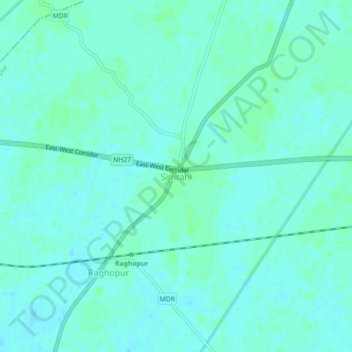
Name: Simrahi topographic map, elevation, terrain.
Location: Simrahi, Raghopur, Supaul, Bihar, 852111, India (26.28890 86.82454 26.32890 86.86454)
Average elevation: 63 m
Minimum elevation: 60 m
Maximum elevation: 66 m