
McHattie topographic map
Interactive map
Click on the map to display elevation.
About this map
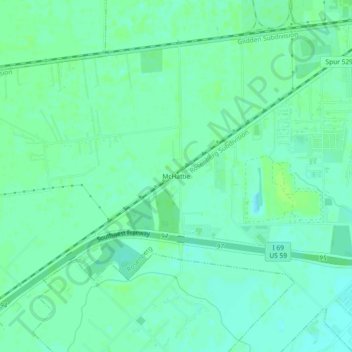
Name: McHattie topographic map, elevation, terrain.
Location: McHattie, Fort Bend County, Texas, 77471, USA (29.52163 -95.86634 29.56163 -95.82634)
Average elevation: 32 m
Minimum elevation: 27 m
Maximum elevation: 36 m