Geolocate

Mount George topographic map

Click on the map to display elevation.

About this map

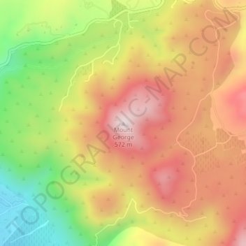
Name: Mount George topographic map, elevation, terrain.

Location: Mount George, Napa County, California, United States (38.34181 -122.22002 38.34191 -122.21992)

Average elevation: 338 m

Minimum elevation: 53 m

Maximum elevation: 568 m

Gear up for your next adventure:

📸Action Cameras - Record your journey across interesting topographic features in 4K
☀️Portable Solar Chargers - High-efficiency panels to hang on your backpack while walking
📡Satellite Messengers - Emergency communication devices
🕶️Polarized Sunglasses - UV protection sunglasses for outdoors
🪢Paracord - Multi-purpose survival cord

As an Amazon Associate, this site earns from qualifying purchases at no extra cost to you.