
Belfield topographic map
Interactive map
Click on the map to display elevation.
About this map
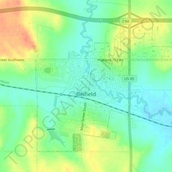
Name: Belfield topographic map, elevation, terrain.
Location: Belfield, Stark County, North Dakota, 58622, United States (46.87628 -103.21121 46.89669 -103.17768)
Average elevation: 799 m
Minimum elevation: 781 m
Maximum elevation: 825 m