Geolocate

Atotonilco topographic map

Click on the map to display elevation.

About this map

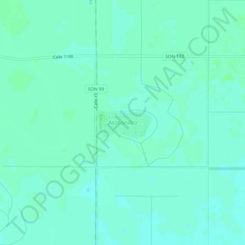
Name: Atotonilco topographic map, elevation, terrain.

Location: Atotonilco, Bácum, Sonora, Mexico (27.28684 -110.19365 27.32684 -110.15365)

Average elevation: 10 m

Minimum elevation: 6 m

Maximum elevation: 13 m

Gear up for your next adventure:

🥾Hiking Gaiters - Leg protection for trails
🔥Windproof Plasma Lighters - USB rechargeable lighters that work in high-altitude winds
🪫Rechargeable Headlamps - USB rechargeable headlamps
🧢Wide Brim Sun Hats - Maximum coverage for the face and neck while out in the open
🎽Base Layers - Thermal base layers

As an Amazon Associate, this site earns from qualifying purchases at no extra cost to you.