
Thank you for supporting this site ❤️
Make a donation
Make a donation
Gear up for your next adventure:
As an Amazon Associate, this site earns from qualifying purchases at no extra cost to you.
Dursun topographic map
Click on the map to display elevation.
Thank you for supporting this site ❤️
Make a donation
Make a donation
Gear up for your next adventure:
As an Amazon Associate, this site earns from qualifying purchases at no extra cost to you.
About this map
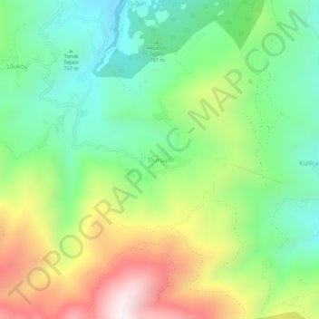
Name: Dursun topographic map, elevation, terrain.
Location: Dursun, Bozkurt, Kastamonu, Black Sea Region, Turkey (41.84497 33.97600 41.88497 34.01600)
Average elevation: 925 m
Minimum elevation: 545 m
Maximum elevation: 1,560 m
Thank you for supporting this site ❤️
Make a donation
Make a donation
Gear up for your next adventure:
As an Amazon Associate, this site earns from qualifying purchases at no extra cost to you.