Geolocate

Mount Pleasant topographic map

Click on the map to display elevation.

About this map

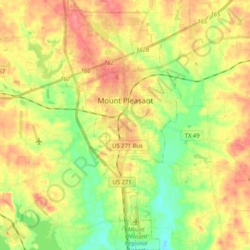
Name: Mount Pleasant topographic map, elevation, terrain.

Location: Mount Pleasant, Titus County, Texas, 75455, United States (33.08318 -95.00702 33.20672 -94.93627)

Average elevation: 115 m

Minimum elevation: 81 m

Maximum elevation: 146 m

Gear up for your next adventure:

🧤Thermal Hiking Gloves - Keep your hands warm and functional during high-altitude winter treks
🎧Bluetooth Outdoor Earbuds - Listen to navigation cues or podcasts during long solo treks
🎒Ultralight Backpacks - Lightweight packs for long hikes
🥤Hydration Packs - Hydration systems for hiking
🛌Sleeping Mats - Insulated mats for camping comfort

As an Amazon Associate, this site earns from qualifying purchases at no extra cost to you.