
ባሕር-ዳር /Bahir Dar topographic map
Interactive map
Click on the map to display elevation.
About this map
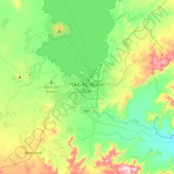
Name: ባሕር-ዳር /Bahir Dar topographic map, elevation, terrain.
Location: ባሕር-ዳር /Bahir Dar, Amhara, 427, Äthiopien (11.43480 37.22798 11.75480 37.54798)
Average elevation: 1,850 m
Minimum elevation: 1,655 m
Maximum elevation: 2,316 m