
Tanara topographic map
Interactive map
Click on the map to display elevation.
About this map
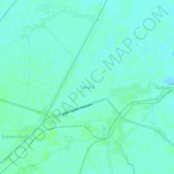
Name: Tanara topographic map, elevation, terrain.
Location: Tanara, Serang, Banten, Indonesia (-6.04733 106.35313 -6.00733 106.39313)
Average elevation: 3 m
Minimum elevation: -1 m
Maximum elevation: 6 m