
Port Vincent topographic map
Interactive map
Click on the map to display elevation.
About this map
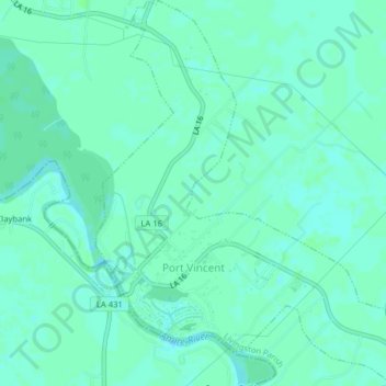
Name: Port Vincent topographic map, elevation, terrain.
Location: Port Vincent, Livingston Parish, Louisiana, United States (30.32405 -90.85480 30.35813 -90.82084)
Average elevation: 5 m
Minimum elevation: 1 m
Maximum elevation: 7 m